

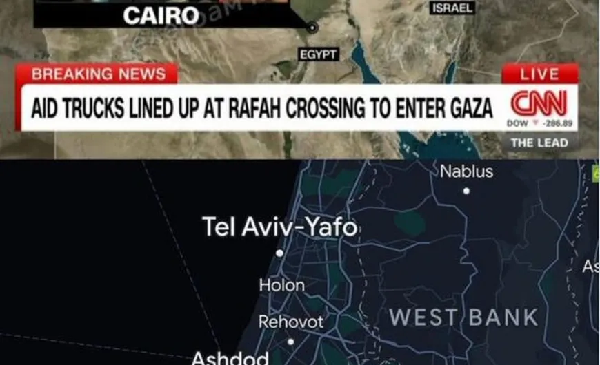


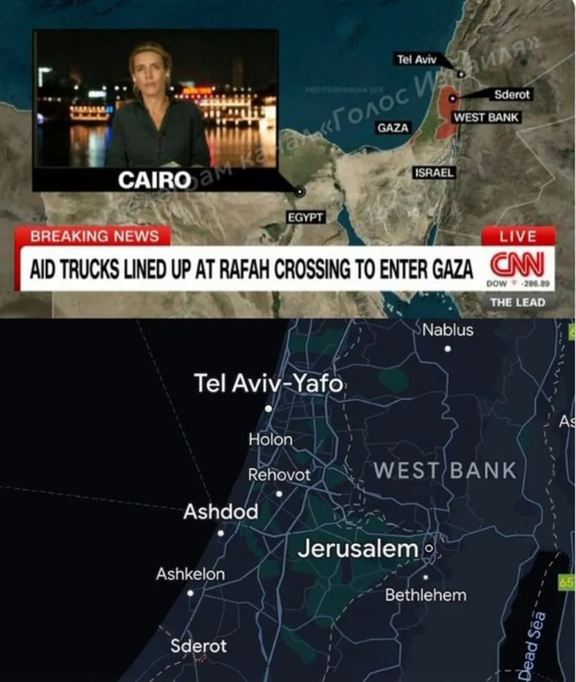
Αντιδράσεις και σχόλια προκάλεσε στο Twitter η προβολή ενός λανθασμένου χάρτη του Ισραήλ, από το αμερικανικό δίκτυο CNN.
Στον χάρτη εμφανίζεται το παραθαλάσσιο Τελ Αβίβ να βρίσκεται στα υψίπεδα του Γκολάν, κοντά στη Συρία, και η πόλη Σντερότ έξω ακριβώς από τη Λωρίδα της Γάζας – μέσα στη Δυτική Όχθη.
«Αξιόπιστη δημοσιογραφία» έγραψε χαρακτηριστικά χρήστης του X. «Φτιάχνω χάρτες και διπλοτσεκάρω τι γράφω. Πώς μπορεί ένα δίκτυο να δημοσιεύει αυτό;», έγραψε άλλος.
I make maps and I double/fact Check before posting a wrong map,
— Mohamed Omar (@absiyejunior) October 23, 2023
how can a whole media outlet post this?
The worse thing is people don’t even understand if it’s a wrong map
CNN is so bad at Geography, how can Tel Aviv be at golan heights
Do they even have a GIS guys? pic.twitter.com/4jNeyuZccA
«Αμερικάνοι και γεωγραφία: δύο εντελώς διαφορετικοί κόσμοι» σχολίασε άλλος χρήστης.
Americans and geography - two completely different worlds: CNN published a map on which the capital of Israel was moved to the Golan Heights, and Sderot, which is located in the immediate vicinity of Gaza, to Palestine (West Bank). pic.twitter.com/nqR6xlMEis
— Sprinter (@Sprinter99800) October 22, 2023
CNN, 100% right… 32% of the time
— Timothy E Kaldas (@tekaldas) October 22, 2023
Tel Aviv is a coastal city, not a city in the Golan Heights.
Sderot isn’t in the West Bank, it’s right outside Gaza.
On the upside, they labeled Egypt correctly 😅 pic.twitter.com/5kdaR1XxMd